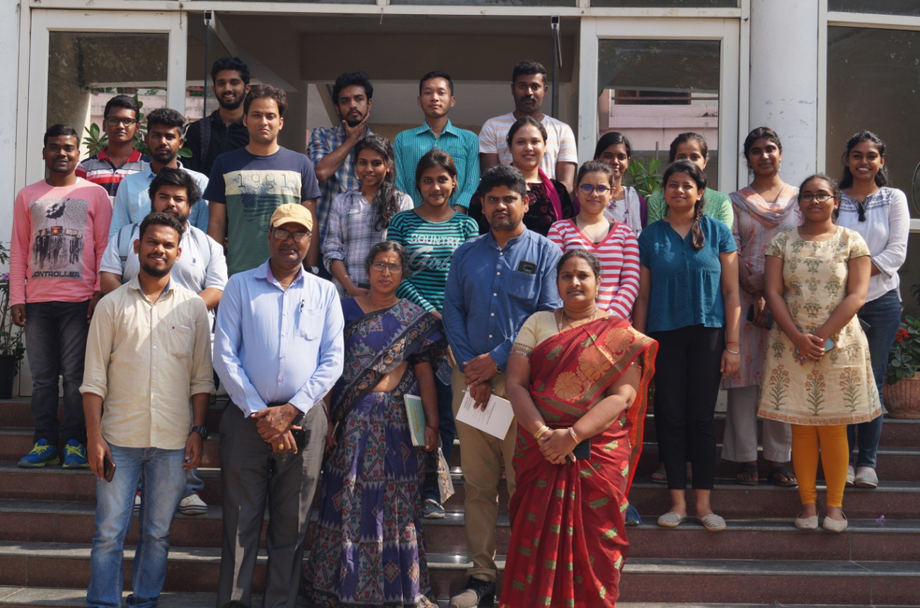
Training Programme on Geo-informatics and its Applications at WTC, PJTSAU, Hyderabad
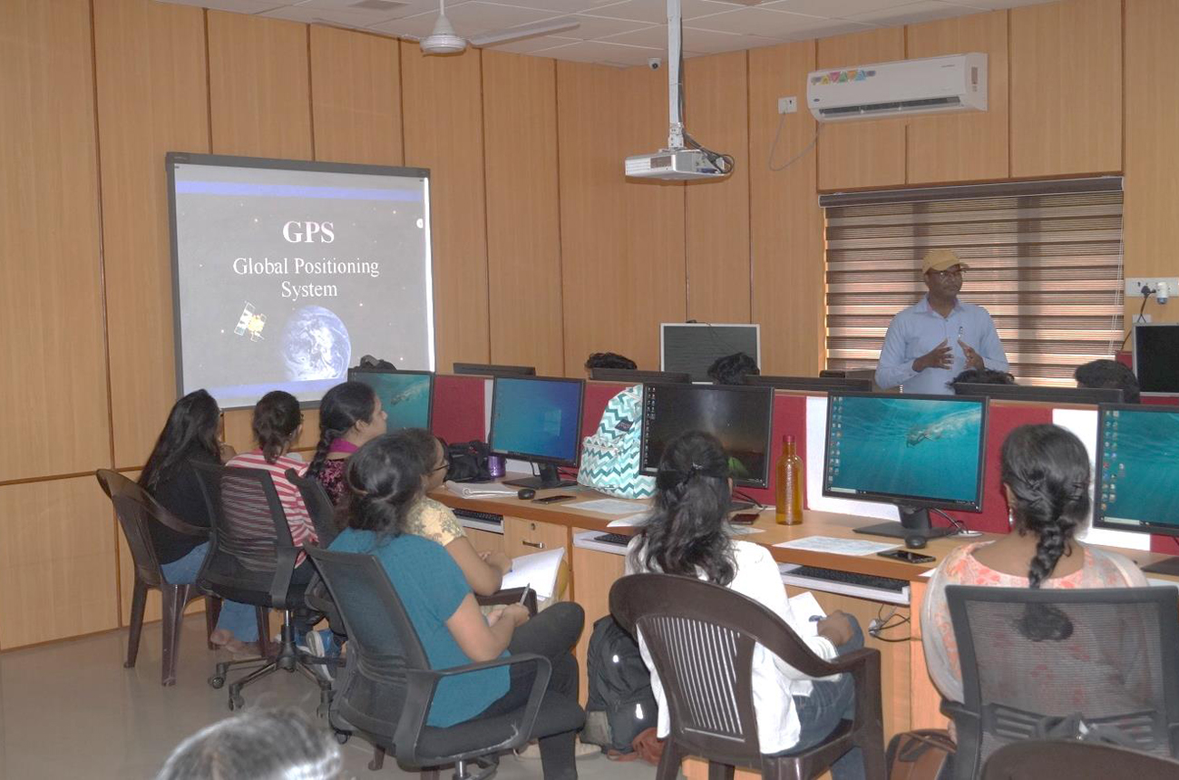
A four days training programme on “Geo-informatics and its Applications” was organized at RS & GIS Laboratory, Water Technology Centre, Hyderabad from 29-01-2020 to 01-02-2020 to the students perusing second year M.A. in Natural Resource in Governance at Tata Institute of Social Sciences (TISS), Turkyamjal, Hyderabad. The number of trainees was 20. More emphasis was given in imparting hands on training in using of RS and GIS tools. The topics covered under different lectures include introduction to GPS and its utility in geo spatial analysis, basics of remote sensing, different earth observation satellites / platforms and different sensors, digital image processing techniques, introduction to GIS, components, data structures, errors, application of remote sensing in agriculture etc. The hands on training was imparted on collecting GPS data using relevant apps in mobile phones, utility of app ‘Epicollect5’ for online registration of project works and collection of field data in mobile app along with location details and photos, GPS survey, using of different web based open source RS and GIS software’s viz., ILWIS (Integrated Land and Water Information System) , Q-GIS (Quantum Geographical Information System), down loading of satellite data from web sites viz., BHUVAN, USGS etc., study of toposheets, Digital image process techniques viz., image rectification, image enhancement and image classification techniques, mapping , digitization, creation of shape files, automatic extraction of web base layers in Q GIS, preparation of reference base maps, use of Google Earth data for geo spatial analysis etc. The different recourse persons involved in this activity were Dr. M. Uma Devi, Director, WTC, Dr. T.L. Neelima, Scientist (Agronomy), WTC and Programme co-ordinator, Mr. Karthik, Computer operator, RS and GIS lab, WTC, Dr. N.S.R. Prasad, Associate Professor, NIRD, Dr. P. D. Srikanth, Principal Scientist, NAARM, Dr. J. Swaraj, Scientist, EPTRI, Dr. Bhavani Penjarla Yadav, Scientist and Mr. Ismail, Technical Officer, ICRISAT. By the end of four days, the students gained the confidence to handle the GPS, RS and GIS tools and expressed that they found this course very useful and now they can handle the projects given to them under Natural Resources Governance using RS and GIS tools. They felt that they could have undergone such training programme much before during their I year of study only.